Drone flights (RPAS)
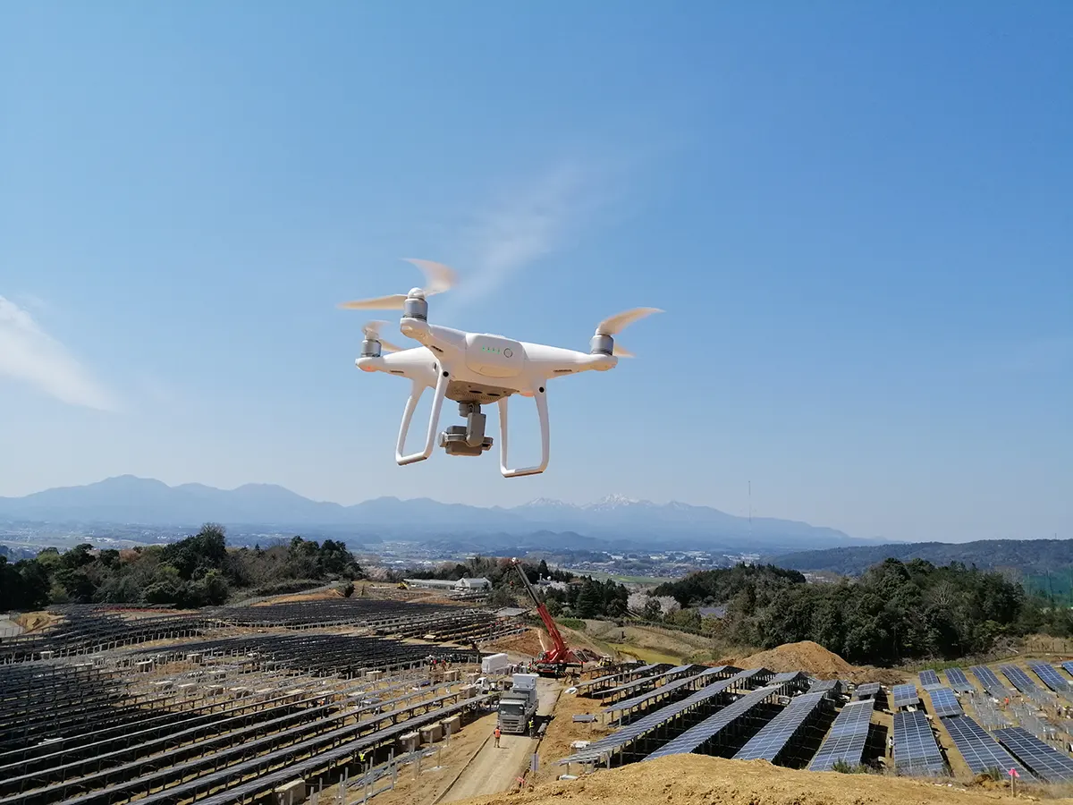
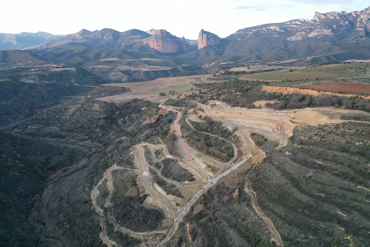
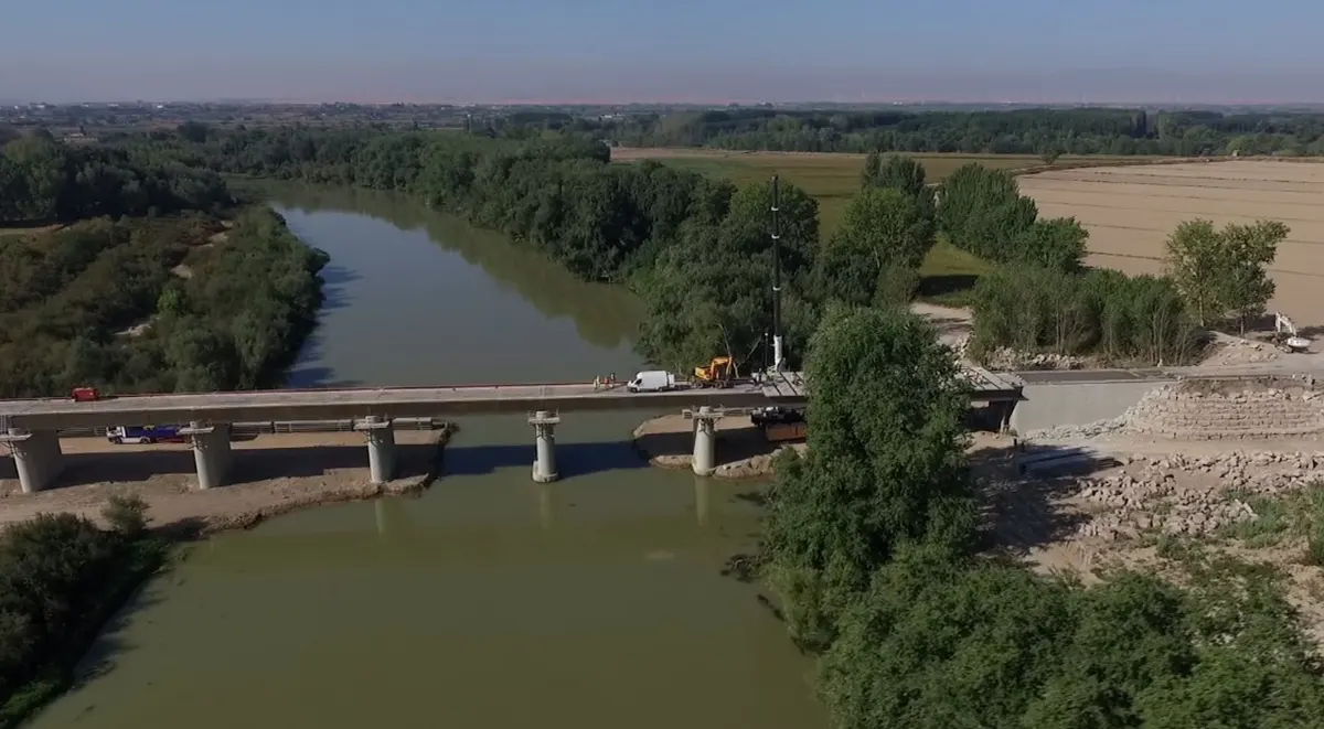
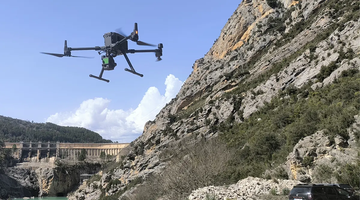
At Proesza we use RPAS systems (drones) to carry out high-precision topography and aerial mapping work. We have EASA accredited pilots and state-of-the-art equipment to provide accurate data for measurements, modelling and monitoring of works.
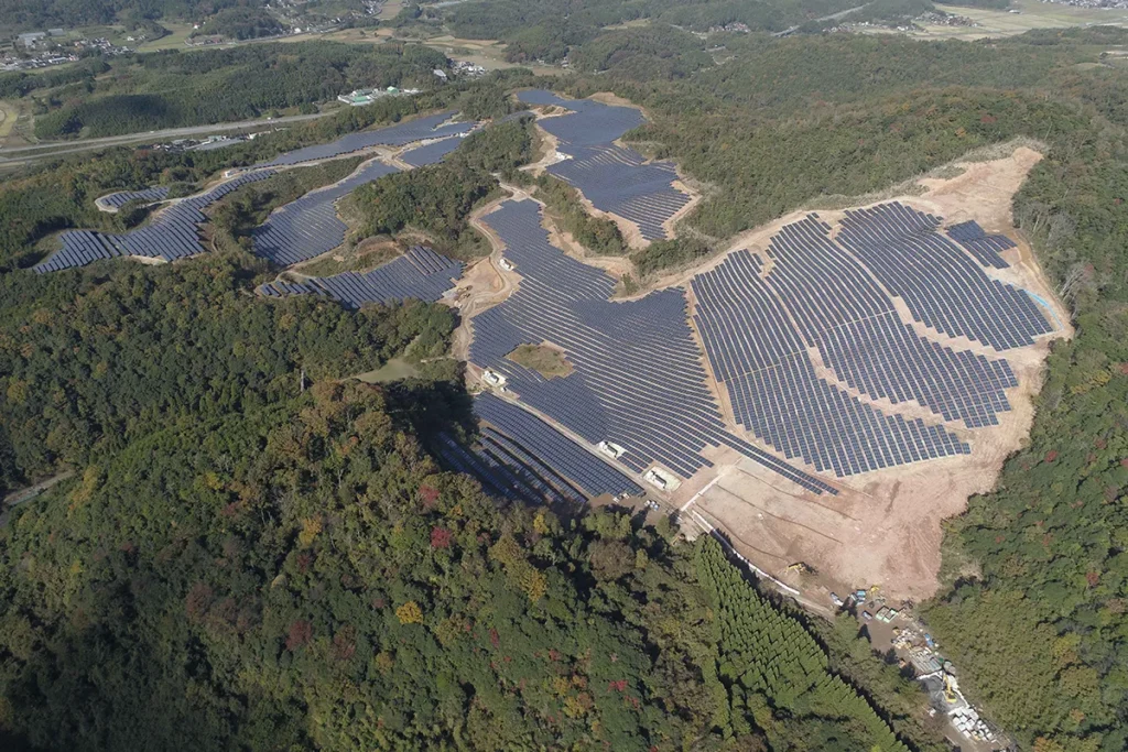
Sectors and applications
Methodology and guarantees
Our RPAS work combines planned flights, high-resolution data capture and advanced data processingWe guarantee maximum reliability in topographic information. In addition, we ensure compliance with air safety regulations thanks to the official accreditation of our pilots.
Technology and tools
Certified UAV drones by EFSA.
High resolution cameras for aerial photogrammetry.
3D modelling software and volumetric calculation.
