Topography
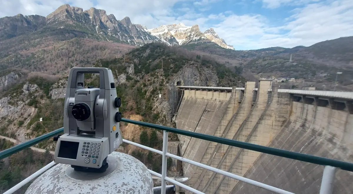
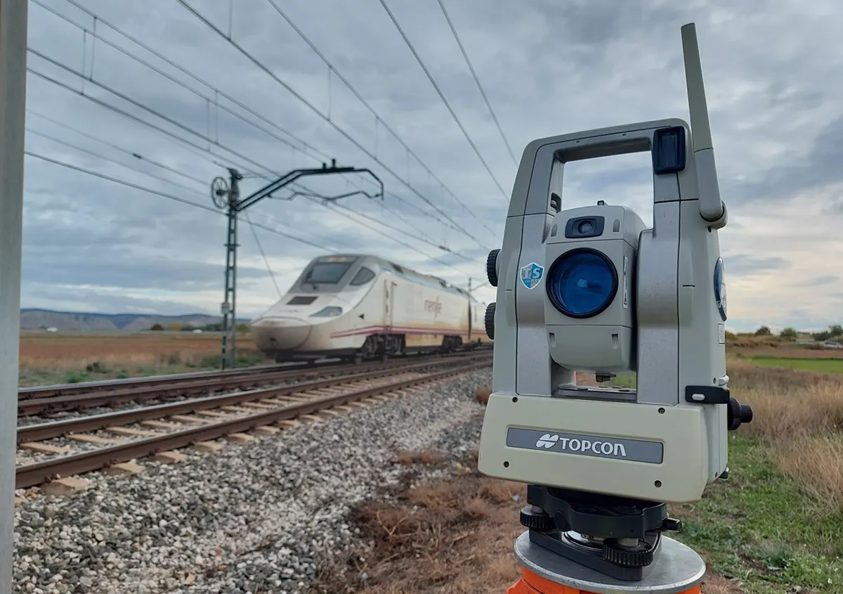
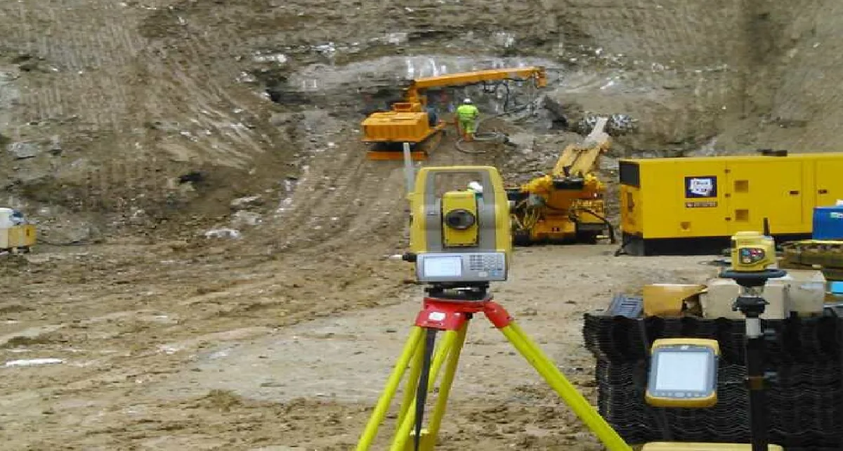
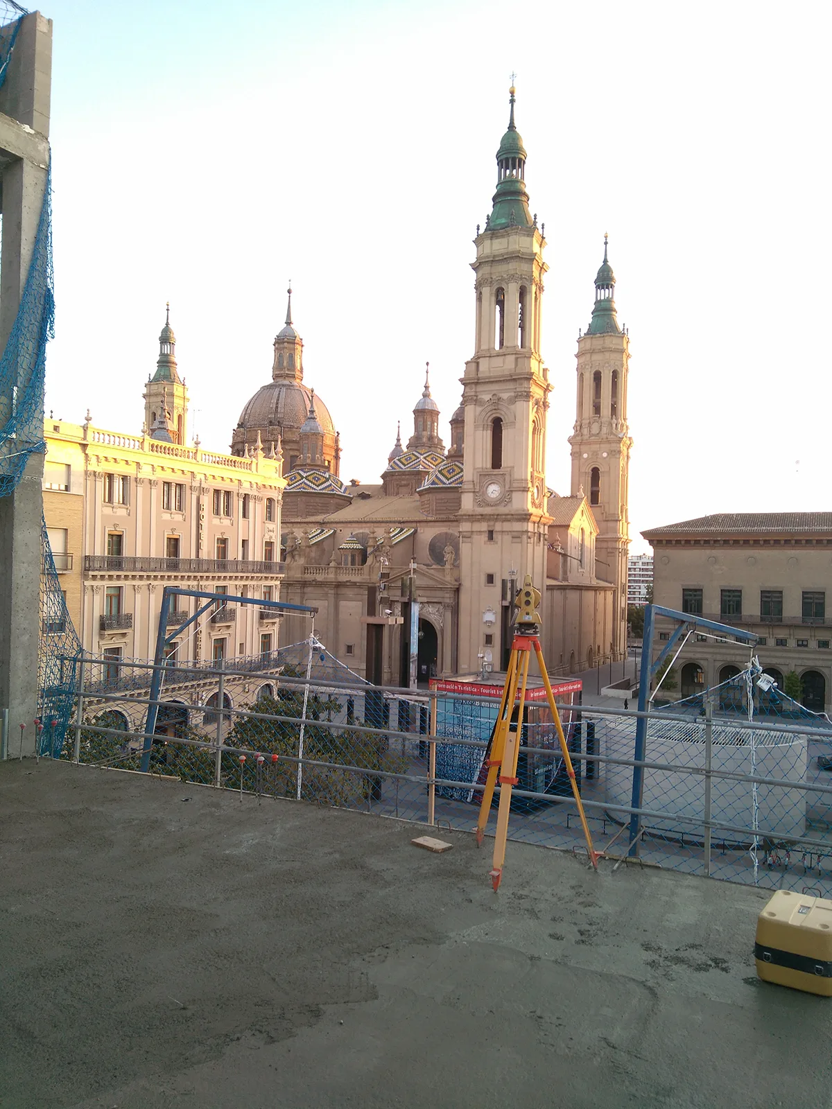
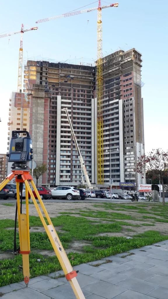
The department of Topography of Proesza is made up of a team with extensive experience in civil works, building and cartography. We have advanced technology such as GPS, total stations, laser scanners and UAVsThis allows us to provide accurate and reliable data for any type of project.
Sectors and applications
Methodology and guarantees
We combine experience and technical precision with state-of-the-art instrumentation. Our field work is integrated with powerful software tools to ensure maximum reliability of topographic and cartographic data.
Technology and tools
GPS and total stations for detailed surveys.
3D laser scanner for high-resolution modelling.
UAVs (drones) with AESA accredited pilots for aerial mapping and volumetric calculations.

